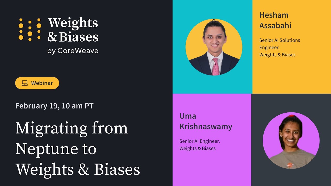
Migrating from Neptune to Weights & Biases
A technical guide on migrating ML experiments from Neptune to Weights & Biases, covering the migration script, API-level code changes, and best practices for organizing projects and analyzing results in the W&B platform before the Neptune sunset.